Bridgehampton · South Fork
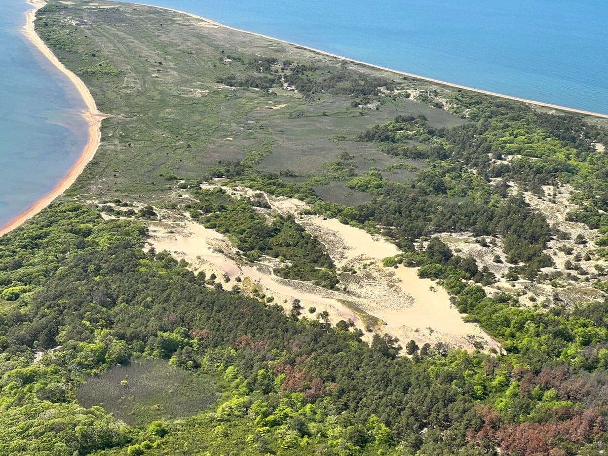
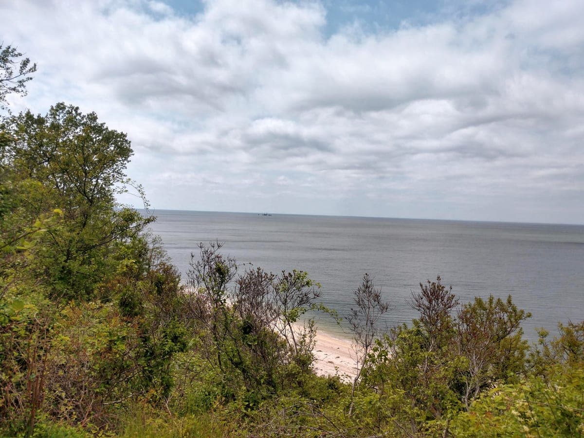
Wolf Swamp Preserve
1.8 mi · Easy · Dirt · Peconic Land Trust
Woodland · Freshwater
Peconic Land Trust preserve of oak-hickory woods and a quiet swamp.
Forty hikes across the Hamptons, the North Fork and Shelter Island, from state parks and preserves to town trails.
Walking a dog? Beach rules by town, plus every dog-friendly trail here
19 trails
Bridgehampton · 1 trail
East Hampton · 7 trails
East Hampton · South Fork
3.5 mi · Moderate · Dirt · NY DEC
Woodland · Bay view · Salt marsh
Quiet woodland with a network of fire roads and footpaths ending at Barcelona Beach on Northwest Harbor.
East Hampton · South Fork
5.2 mi · Moderate · Dirt · Town / Village park
Woodland · Bay view
Five miles of East Hampton Town trails through the Northwest Woods, ending at Northwest Harbor.
East Hampton · South Fork
4 mi · Easy · Mixed · Suffolk County
Bay view · Historic · Woodland
Flat trail from the campground to the 1860 Cedar Point Lighthouse on Gardiners Bay.
East Hampton · South Fork
2 mi · Easy · Mixed · Town / Village park
Bay view · Woodland · Salt marsh
East Hampton town park on Gardiners Bay.
East Hampton · South Fork
1.1 mi · Easy · Sand · Town / Village park
Ocean view · Dunes
A short dune walk from the Two Mile Hollow lot out over the primary dune and down the beach.
East Hampton · South Fork
1.4 mi · Easy · Dirt · Suffolk County
Freshwater · Woodland
Short loop around a coastal plain pond in a Suffolk County nature preserve.
East Hampton · South Fork
2.6 mi · Easy · Dirt · Town / Village park
Woodland
Quiet East Hampton town connector through oak-pine woods between Buckskill Road and Stephen Hands Path.
Amagansett · 2 trails
Amagansett · South Fork
2.5 mi · Easy · Sand · Nature Conservancy
Dunes · Ocean view · Woodland
A Nature Conservancy preserve running between the primary and secondary dune lines.
Amagansett · South Fork
1.6 mi · Easy · Dirt · Town / Village park
Freshwater · Woodland
Small Amagansett preserve named for the historic cranberry bogs that once dotted Napeague.
Montauk · 6 trails
Montauk · South Fork
6.5 mi · Moderate · Dirt · NY State Parks
Woodland · Bay view · Ocean view
The long-distance trail of Long Island, 125 miles from Rocky Point east to Montauk Point.
Montauk · South Fork
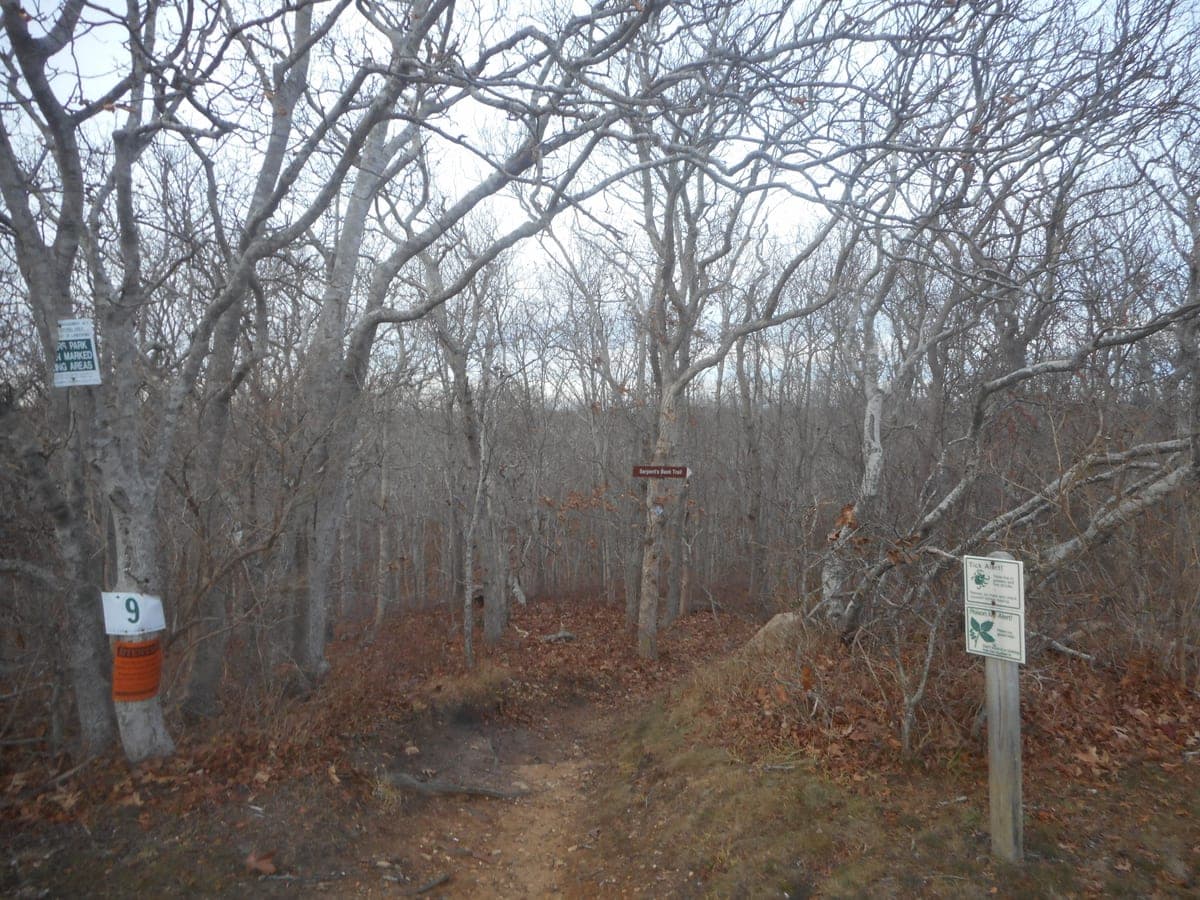
6.5 mi · Moderate · Dirt · NY State Parks
Woodland · Bay view · Freshwater
Blue-blazed loop through oak and pitch pine, kettle ponds, and the Serpent's Back ridge.
Montauk · South Fork
1.5 mi · Easy · Dirt · NY State Parks
Bluff · Ocean view · Historic
A short loop on the high bluffs east of Montauk village.
Montauk · South Fork
3.2 mi · Moderate · Dirt · NY State Parks
Bluff · Ocean view · Historic
Cold War radar base converted to state park.
Montauk · South Fork
2 mi · Easy · Mixed · NY State Parks
Ocean view · Bluff · Historic
The easternmost tip of Long Island.
Montauk · South Fork
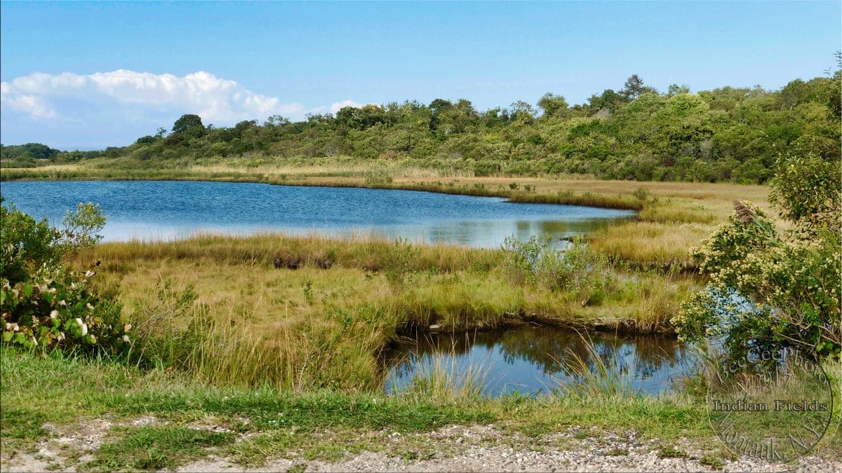
1.5 mi · Easy · Dirt · Suffolk County
Freshwater · Woodland
Quiet loop around a freshwater pond on the Montauk moors.
Sag Harbor · 1 trail
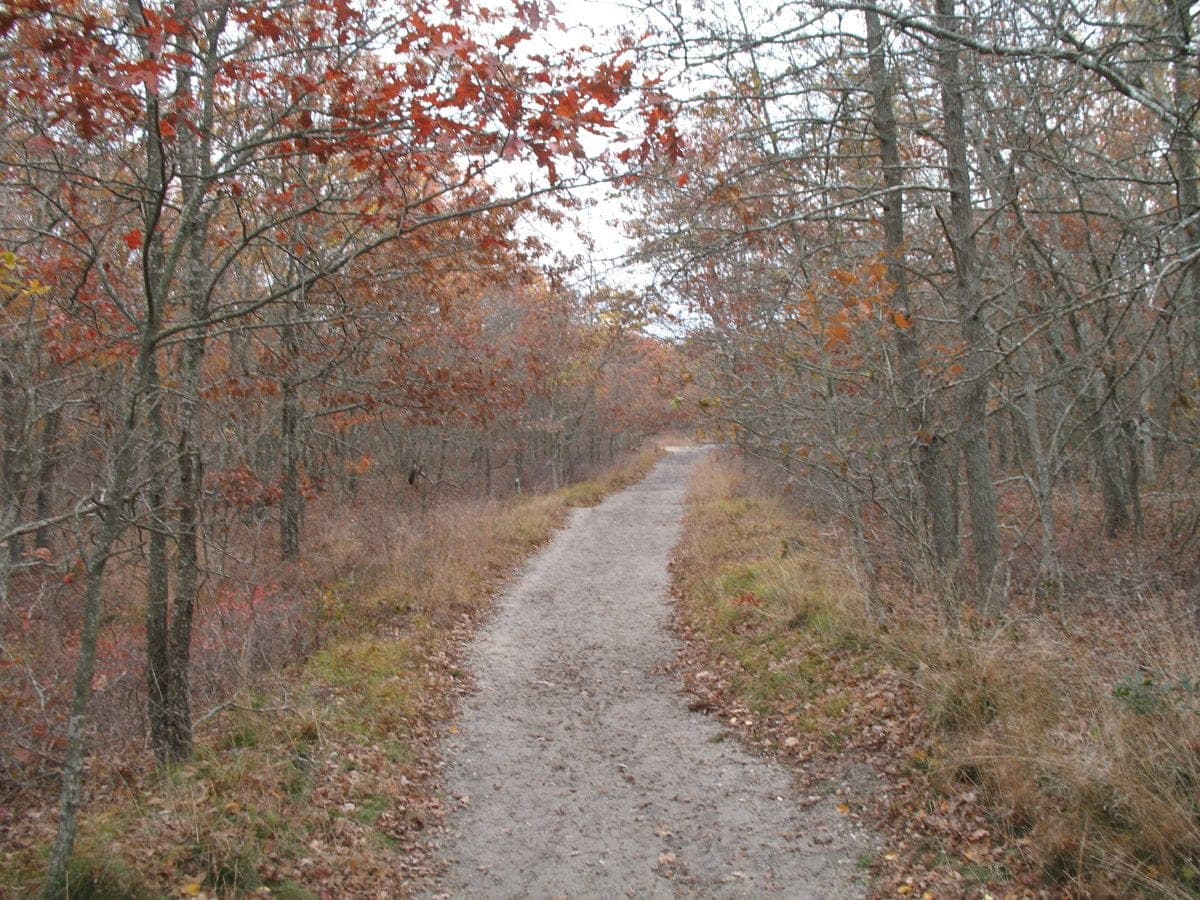
Sag Harbor · South Fork
6.5 mi · Moderate · Dirt · Town / Village park
Woodland · Freshwater
A 6.5-mile corridor of interconnected ponds from Sag Harbor south to Sagaponack, one of the largest contiguous coastal plain pond…
Springs · 1 trail
Napeague · 1 trail
1 trail
Shelter Island · 1 trail
3 trails
Hampton Bays · 1 trail
Westhampton · 1 trail
Wading River · 1 trail
Riverhead · 2 trails
Laurel · 1 trail
Peconic · 2 trails
Peconic · North Fork
2.1 mi · Easy · Dirt · Suffolk County
Sound view · Bluff · Woodland
A Suffolk County park on the Long Island Sound bluffs.
Peconic · North Fork
1.2 mi · Easy · Sand · Suffolk County
Sound view · Dunes
Short beach walk at the mouth of Goldsmith Inlet, a tidal pond on the Long Island Sound.
Southold · 2 trails
Southold · North Fork
1.8 mi · Easy · Boardwalk · Town / Village park
Salt marsh · Woodland
Southold Town preserve with a boardwalk through a freshwater swamp and a short upland loop.
Southold · North Fork
1.8 mi · Easy · Mixed · Town / Village park
Bay view · Salt marsh · Dunes
Southold town park at the tip of a narrow peninsula in Hog Neck Bay.
Greenport · 1 trail
Orient · 1 trail
Lengths, difficulty, rules on dogs and bikes, and trailhead coordinates come from NY State Parks, Suffolk County Parks, NY DEC, The Nature Conservancy, Peconic Land Trust, US Fish & Wildlife, the NY–NJ Trail Conference, and town and village park departments, with trailhead coordinates cross-checked against OpenStreetMap.
Each trail page lists the specific official pages it was checked against, and each card above names the managing agency. Conditions change — confirm hours and access with the manager before a long drive.