Traveling with a Dog
Beach rules by town, plus the trails and inns that are actually pet friendly.
🐕 Right now · October
42 of 49 beaches let dogs on the sand today.
Set beach by beach. Parking: see the parking checker.
Dog beach rules
30 beachs
Southampton · 2 beaches
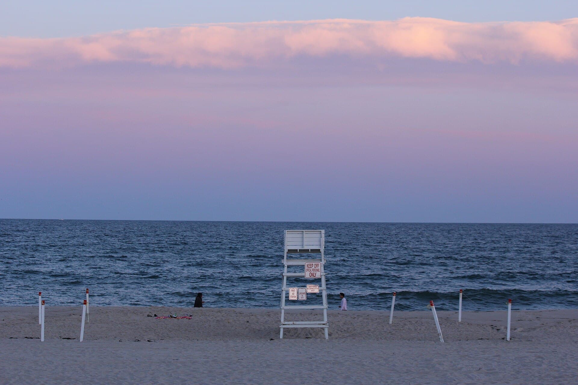
Coopers Beach
Southampton Village
Oct to Apr: Leash required; May to Sep: No dogs Before 9am/after 6pm: Sep to May: Leash required; Jun to Aug: No dogs.
Parking: Southampton Village permit · or daily parking fee at the lot
Source: Village of Southampton — Village Beaches ↗Water Mill · 1 beach
Show 44 more beaches
Sagaponack · 2 beaches
Gibson Beach
Village of Sagaponack
Oct to Jun: Leash required; Jul to Sep: No dogs Before 9am/after 6pm: Oct to Jun: Leash required; Jul to Sep: Allowed.
Parking: Southampton Town beach parking permit · Trustee/Town access road (no lifeguard, no facility)
Source: Town of Southampton Parks & Recreation — 2026 Beach Parking Map (Gibson Ln, Village of Sagaponack, Trustee/Town access road #41); Village of Sagaponack Board of Trustees minutes ("our one and only beach") ↗Wainscott · 1 beach

East Hampton · 6 beaches

Georgica Beach
East Hampton Village
Oct to Apr: Off-leash OK; May to Sep: No dogs Before 9am/after 6pm: Off-leash OK, year-round.
Parking: East Hampton Village permit · resident + non-resident seasonal
Source: Village of East Hampton — Village Beaches ↗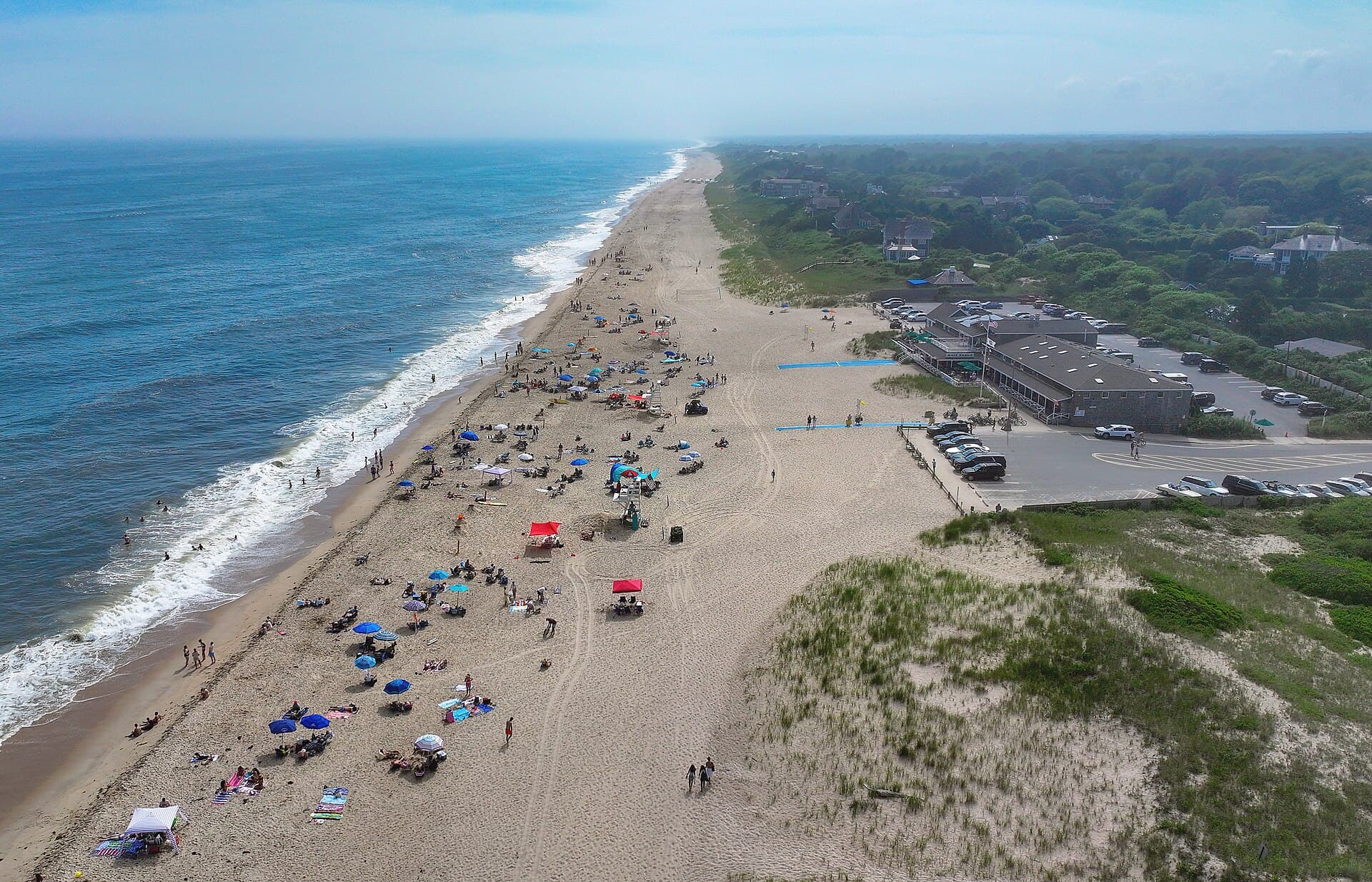
Main Beach
East Hampton Village
Oct to Apr: Off-leash OK; May to Sep: No dogs Before 9am/after 6pm: Off-leash OK, year-round.
Parking: East Hampton Village · $50/day non-resident digital permit via ParkMobile zone 59204 (Mon–Thu; Fri–Sun at Beach Manager's discretion) · enforced by licence-plate scanner
Source: Village of East Hampton — Village Beaches ↗Two Mile Hollow Beach
East Hampton Village
Oct to Apr: Off-leash OK; May to Sep: No dogs Before 9am/after 6pm: Off-leash OK, year-round.
Parking: East Hampton Village · $50/day non-resident digital permit via ParkMobile zone 59205 (Mon–Thu; Fri–Sun at Beach Manager's discretion) · enforced by licence-plate scanner
Source: Village of East Hampton — Village Beaches ↗Amagansett · 3 beaches
Montauk · 5 beaches
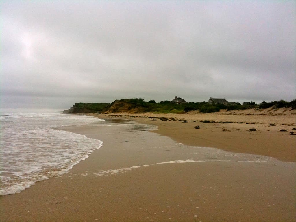
Ditch Plains Beach
Oct to Apr: Off-leash OK; May: Leash required; Jun to Aug: No dogs; Sep: Leash required Before 9am/after 6pm: Off-leash OK, year-round.
Parking: East Hampton Town resident permit
Source: Town of East Hampton — Recreation Department ↗
Montauk · 5 beaches
Noyack · 1 beach
Springs · 4 beaches
Fresh Pond
Oct to May: Off-leash OK; Jun to Sep: Leash required Before 9am/after 6pm: Off-leash OK, year-round.
Parking: East Hampton Town parking permit required (unguarded bay access point)
Source: Town of East Hampton — Recreation Department ↗Gerard Drive
Oct to May: Off-leash OK; Jun to Sep: Leash required Before 9am/after 6pm: Off-leash OK, year-round.
Parking: East Hampton Town resident permit (trustee beach road)
Source: Town of East Hampton — Recreation Department ↗2 beachs
Shelter Island · 2 beaches
7 beachs
Westhampton Beach · 3 beaches
Lashley Beach
Westhampton Beach
Oct to Apr: Leash required; May to Sep: No dogs
Parking: Westhampton Beach Village permit
Source: Village of Westhampton Beach ↗Hampton Bays · 3 beaches
Meschutt Beach County Park
No dogs, year-round
Parking: Suffolk County day fee · $10 resident / $20 non-resident, Green Key discount
Source: Suffolk County Parks ↗
10 beachs
Riverhead · 1 beach
Reeves Beach
No dogs, year-round
Parking: Riverhead Town beach permit, required year-round · residents only — the town sells no visitor sticker and no daily rate
Source: Town of Riverhead — Recreation Department beaches page, its FAQ for the dog rule and the sticker scope, and the Beach Advisory Committee page for the address. Alone among the four town beaches, this one carries no accessibility sentence ↗Jamesport · 1 beach
Iron Pier Beach
No dogs, year-round
Parking: Riverhead Town beach permit, required year-round · residents only — the town sells no visitor sticker and no daily rate
Source: Town of Riverhead — Recreation Department beaches page (the town's beach content lives on riverheadrecreation.net), its FAQ for the dog rule and the sticker scope, and the Beach Advisory Committee page for the address ↗South Jamesport · 1 beach
South Jamesport Beach
No dogs, year-round
Parking: Riverhead Town beach permit, required year-round · residents only — the town sells no visitor sticker and no daily rate
Source: Town of Riverhead — Recreation Department beaches page, its FAQ for the dog rule and the sticker scope, and the Beach Advisory Committee page for the address. The town does not state which water body this beach faces ↗New Suffolk · 1 beach
New Suffolk Beach
Nov to Apr: Off-leash OK; May: Leash required; Jun to Aug: No dogs; Sep to Oct: Leash required Before 9am/after 6pm: Nov to Apr: Off-leash OK; May to Oct: Leash required.
Parking: Southold Town permit, required at all times · residents only (lessees through a landlord, hotel guests through their hotel) · fee not published
Source: Town of Southold — New Suffolk Beach facility page, plus the Town's general Parking Permits page and Town Code §§ 189 and 193-3.1. The town states lifeguards, beach attendants, a boat ramp and ample parking; it does not state restrooms ↗Southold · 4 beaches
Goose Creek Beach
Nov to Apr: Off-leash OK; May: Leash required; Jun to Aug: No dogs; Sep to Oct: Leash required Before 9am/after 6pm: Nov to Apr: Off-leash OK; May to Oct: Leash required.
Parking: Southold Town permit, required at all times · residents only (lessees through a landlord, hotel guests through their hotel) · fee not published
Source: Town of Southold — Goose Creek facility page, plus the Town's general Parking Permits page and Town Code §§ 189 and 193-3.1 ↗Kenney's Beach
Nov to Apr: Off-leash OK; May: Leash required; Jun to Aug: No dogs; Sep to Oct: Leash required Before 9am/after 6pm: Nov to Apr: Off-leash OK; May to Oct: Leash required.
Parking: Southold Town permit, required at all times · residents only (lessees through a landlord, hotel guests through their hotel) · fee not published
Source: Town of Southold — Kenney's Beach facility page, plus the Town's general Parking Permits page and Town Code §§ 189 and 193-3.1. The Town Code spells it “Kenny's”; the facility page spells it “Kenney's” ↗Southold · 4 beaches
McCabe's Beach
Nov to Apr: Off-leash OK; May: Leash required; Jun to Aug: No dogs; Sep to Oct: Leash required Before 9am/after 6pm: Nov to Apr: Off-leash OK; May to Oct: Leash required.
Parking: Southold Town permit, required at all times · residents only (lessees through a landlord, hotel guests through their hotel) · fee not published
Source: Town of Southold — McCabe's Beach facility page, plus the Town's general Parking Permits page and Town Code §§ 189 and 193-3.1 ↗Southold Town Beach
Nov to Apr: Off-leash OK; May: Leash required; Jun to Aug: No dogs; Sep to Oct: Leash required Before 9am/after 6pm: Nov to Apr: Off-leash OK; May to Oct: Leash required.
Parking: Southold Town permit, required at all times · residents only (lessees through a landlord, hotel guests through their hotel) · fee not published
Source: Town of Southold — Town Beach facility page, plus the Town's general Parking Permits page (no per-beach permit page exists) and Town Code §§ 189 and 193-3.1 for parking and dogs ↗Greenport · 1 beach
Norman E. Klipp Marine Park (Gull Pond Beach)
Nov to Apr: Off-leash OK; May: Leash required; Jun to Aug: No dogs; Sep to Oct: Leash required Before 9am/after 6pm: Nov to Apr: Off-leash OK; May to Oct: Leash required.
Parking: Southold Town permit, required at all times · residents only (lessees through a landlord, hotel guests through their hotel) · fee not published
Source: Town of Southold — Norman E. Klipp Park / Gull Pond facility page, plus the Town's general Parking Permits page and Town Code §§ 189 and 193-3.1. The town states lifeguards, beach attendants, a large lot and a playground; it does not state restrooms ↗See the full beach directory for parking, lifeguards and facilities beyond dog rules.
Dog-friendly places
Trails whose own manager allows dogs, and stays whose own listing says pet friendly.
Trails
19 trails
Bridgehampton · 1 trail
Show 30 more trails
Montauk · 6 trails
Montauk · 6 trails
Sag Harbor · 1 trail
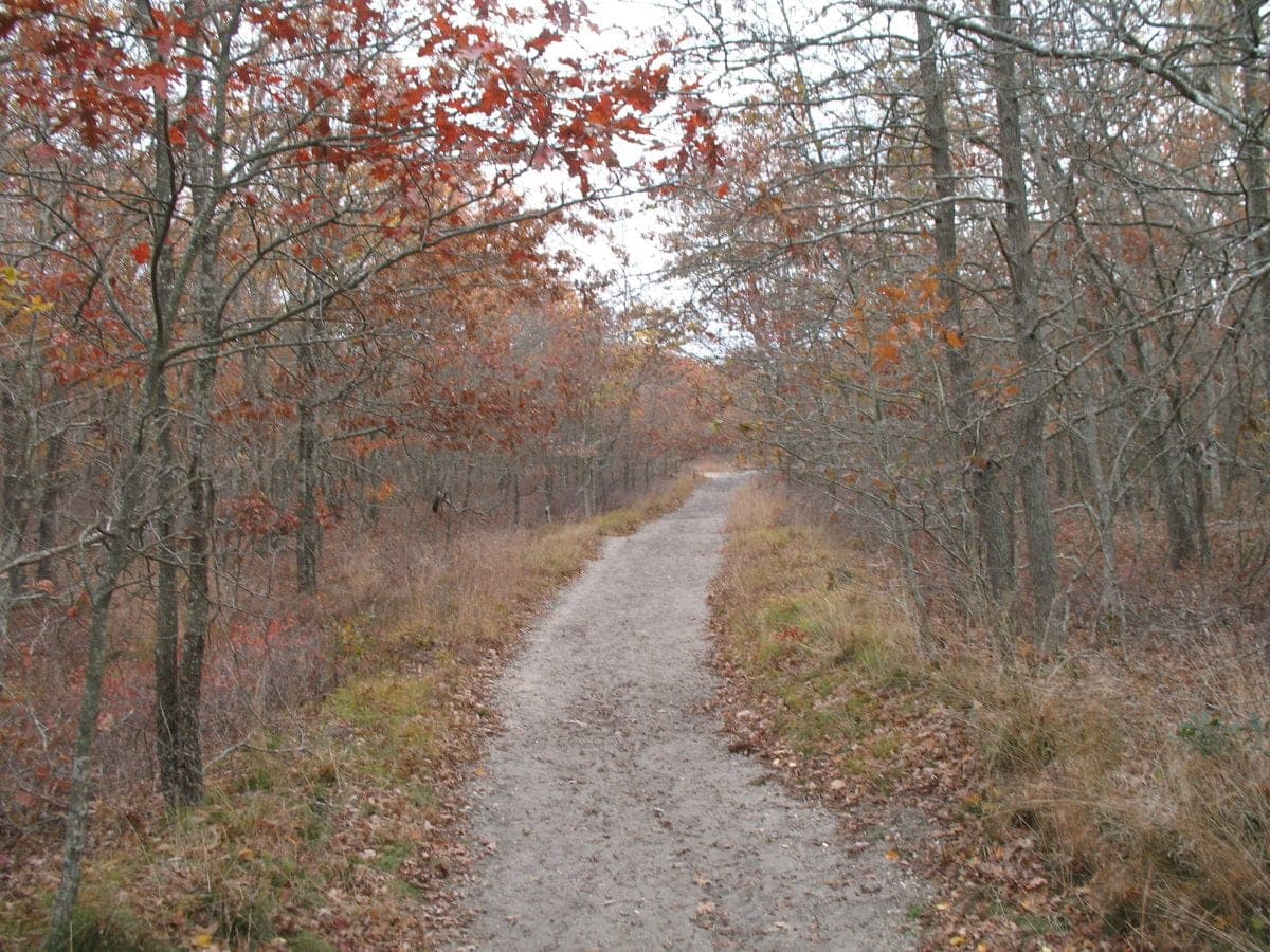
Long Pond Greenbelt
Sag Harbor
A 6.5-mile corridor of interconnected ponds from Sag Harbor south to Sagaponack, one of the largest contiguous coastal plain pond systems in the state. Rare sedges, globally uncommon plants, and a lot of quiet.
Napeague · 1 trail
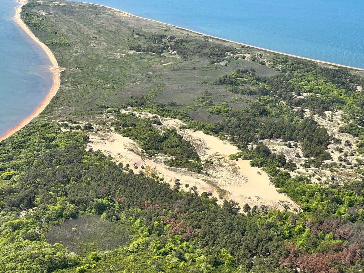
Walking Dunes Trail (Napeague State Park)
Napeague
The famous migrating parabolic dunes on Napeague. Climb a 40-foot sand wall, walk the cranberry bog, pass the phantom forest where the advancing dune is slowly burying a stand of pitch pines. Best at low sun.
3 trails
Hampton Bays · 1 trail
Riverhead · 2 trails
Greenport · 1 trail
See all 32 dog-friendly trails on the map (each trail’s manager and source are on its own page)
Stays
2 stays
East Hampton · 1 stay

1 stay
One thing to know: ticks
Lyme and babesiosis are endemic on the East End. Use repellent and check for ticks after any outdoor time. Check the dog too. Full guidance is on Health & Safety.
Source: Suffolk County Dept of Health Services — Tick Pathogen Surveillance Program ↗